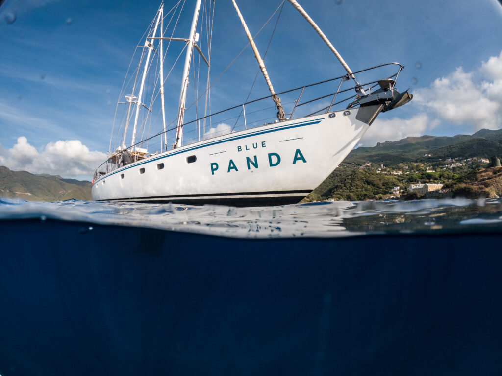
The Blue Panda and its crew provide adequate logistics for such a mission – ©HUGOHEBBE-WWFFRANCE
OBJECTIVES
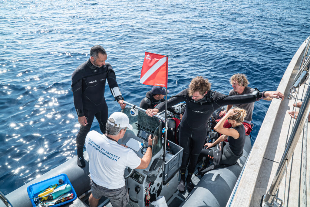
Septentrion Environnement is contributing to the “MPA Odyssey in the Mediterranean” programme, led by WWF-France. This is a pluriannual scientific field expedition, carried out aboard the Blue Panda, and aiming to strengthen the impact of MMI advocacy for 30% the Mediterranean to be protected and recovering and 3% to be fully protected (strong protection). A first field mission was carried out in September 2021, conducted in the territory of the Marine Natural Park of Cap Corse and Agriate (PNMCCA) and with its partnership. Other missions, in other MPAs of the western and eastern Mediterranean basin, are planned for 2023.
The objective of the 2021 mission was to collect data via visual dive surveys aimed at describing the state of the ichthyological populations in order to assess the level of protection and the benefits provided by the MPA of the PNMCCA: sites inside and outside the fishing zone, along the entire length of the Park’s coastline, were sampled. These data are compared with data from other Mediterranean MPAs.
In 2022 we collected data to describe the state of ichthyological populations around the Dilek Peninsula (Buyuk Menderes National Park – Turkey), in the Scandola Nature Reserve (Corsica) and in the Bouches de Bonifacio Nature Reserve (Corsica).
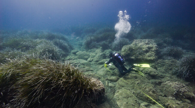
The scientific diving team prepares for a series of visual fish censuses – ©HUGOHEBBE-WWFFRANCE
DESCRIPTION
The sampling method used is the underwater visual census (UVC), with a transect of 25 m long by 5 m wide as the sampling unit. The abundance of each fish species is counted, or estimated for large shoals, and their size estimated in intervals of 2 cm (for individuals smaller than 30 cm), or 5 cm (for larger individuals). A single passage per transect is performed, concentrating on necto-benthic species (sparidae, labridae, serranidae, etc.) which are the most sensitive to the level of protection. The sampling units are carried out using stratified random sampling, targeting the habitat of photophilous algae rocky reefs, in an average depth range of 7 to 15 metres, and in such a way as to limit the percentage of seagrass cover (maximum of 50%, as far as possible).
Within each zone, we carried out surveys within zones of high protection and outside zones of high protection.
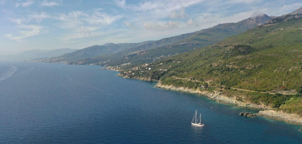
The Blue Panda during its mission along the Cap Corse © Hugo Hebbe – WWF France
Report: The Marine Protected Areas Odyssey - WWF Mission
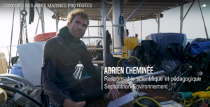
>> Watch the report on the Marine Protected Areas Odyssey ©HUGOHEBBE-WWFFRANCE